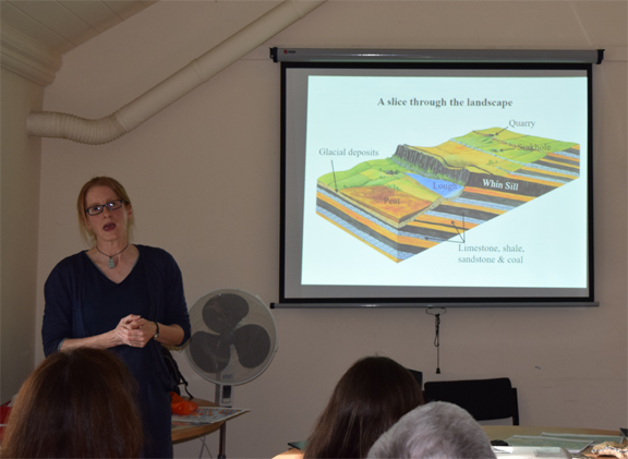
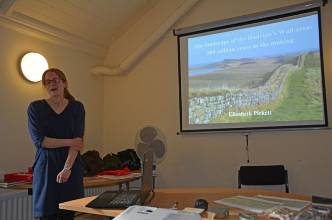
 A ‘full house’ of 24 of our volunteers were treated to a very enlightening presentation by Dr Elizabeth Pickett on how the most recent 500 million years of geological time has shaped the landscape in the areas we are surveying north of Hadrian’s Wall. It was fascinating to discover how what was today visible in the local landscape represented the formations from just a fraction of those 500 million years. Contrary to what one might have expected the vast majority of the rocks occurring at the surface are not from the more recent geological periods but are primarily Carboniferous formations laid down over 300 million years ago long before the advent of the dinosaurs.
My perspective on the sandstone and limestone ridges that predominate the terrain I’ve so often walked over to the north of the Whin Sill has been changed by now knowing how they are interspersed with softer layers of shale and how much of the terrain has been impacted by, in geological terms, much more recent glacial activity and then peat formation.
After the presentation participants had the opportunity to discuss informally with Dr Pickett during the refreshment interval and to examine various samples and to view copies of detailed geological maps of the local area. Following this Dr Pickett gave a very helpful briefing on how to read and understand a geological map, and Martin Green, who had chaired the evening, gave a short presentation on how to access geological maps on-line.
This coming Saturday Dr Pickett will be leading a walk looking at the geology of our survey area. Participants agreed that it had been an absolutely fascinating workshop which they had very much enjoyed, and that everyone was now really looking forward to the follow-up guided walk.